Yosemite National Park
Jump to navigation
Jump to search
Yosemite Valley
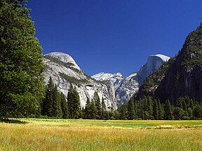
[edit]Half Dome
[edit]-
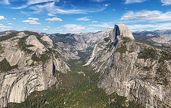
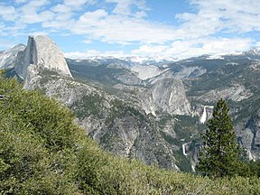
Half Dome over Yosemite Valley
-
from Snow Creek Trail
-
from North Dome
-
hikers climbing the cables
-
Backside of Half Dome
El Capitan
[edit]-
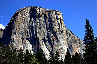
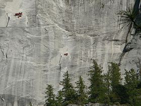
El Capitan viewed from the side
-
Facing El Capitan
-
El Capitan
-
Panorama from El Capitan meadow
Yosemite Falls
[edit]-
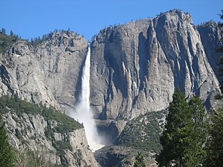
seen from Valley floor, April
-
Upper falls, winter
-
Middle falls
-
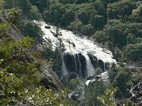
Lower falls, winter
-
November
Bridalveil Fall
[edit]-
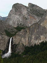
Bridalveil Fall flows from a U-shaped hanging valley that was created by a tributary glacier.
-
From Discovery View, Wawona Road
-
From Discovery View, Wawona Road
-
From trail head leading to the base of the fall.
Muir and Mist Trails
[edit]-
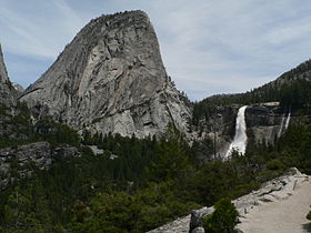
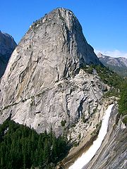
Liberty Cap
-
Liberty Cap
Vernal Fall
[edit]-
High-resolution mosaic
-
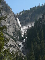
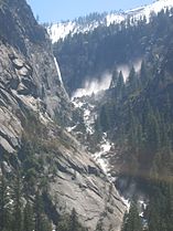
Spring brings large amounts of water creating a dazzling mist.
-
Low flow in summer
-
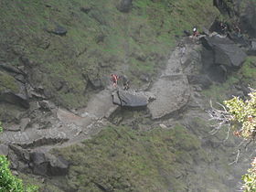
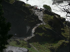
A view from the top (looking down)
-
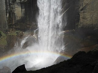
from the base
-
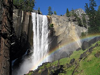
with rainbow
-
with rainbow
Nevada Fall
[edit]-
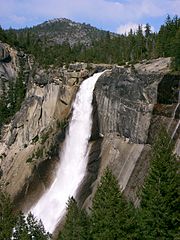
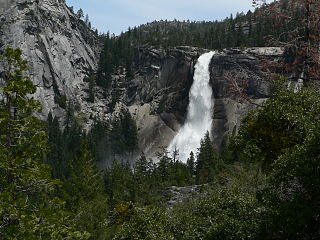
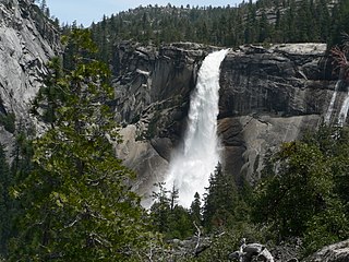
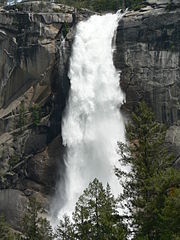
Low flow in August
Glacier Point
[edit]-
rock outcrop at Glacier Point
-
Vernal and Nevada Falls from Glacier Point
-
Yosemite Valley from Glacier Point
-
Road to Glacier Point
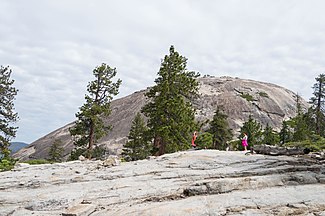
Sentinel Dome
[edit]-
Panorama taken from Sentinel Dome summit
Zoomviewer
Other Yosemite Valley
[edit]-
Tunnel View
-
Yosemite Valley from Tunnel View in Yosemite
-
Valley View
-
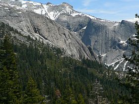
Yosemite Valley and Tenaya Canyon
-
A view of Yosemite
-
Church in Yosemite Valley
-
Little Yosemite Valley
-
half-dome 1982
-
Taft Point
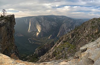
-
Sierra Point seen from the top of Vernal Fall
-
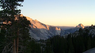
Tenaya Canyon showing Alpenglow
-
Mariposa Indian Encampment Yosemite Valley California by Albert Bierstadt.
-
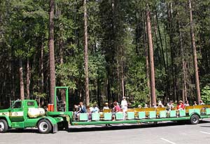
A open-air tram in the Yosemite Valley
-
Happy Isles Bridge
-
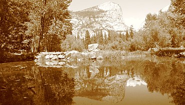
Mirror Lake
Tuolumne Meadows
[edit]-
Tuolumne Meadows
-
at Sunset
-
Tuolumne River
-
Tuolumne Meadows
-
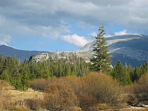
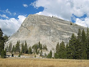
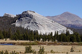
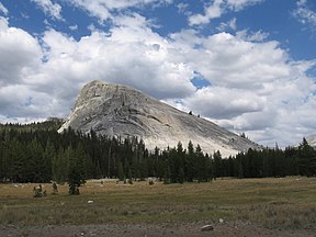
Lembert Dome
-
Lembert Dome, Mount Dana behind
-
Lembert Dome
Mariposa Grove
[edit]-
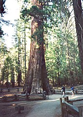
Grizzly Giant
-
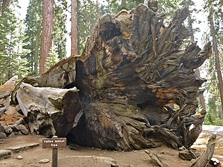
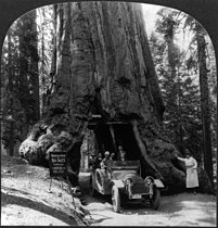
Fallen Tunnel Tree
-
California Tree
-
Other giant sequoia (Sequoiadendron giganteum)
-
Snow plant (Sarcodes sanguinea)
Tenaya Canyon
[edit]-
Half Dome and Ahwiyah Point
-
Tenaya Creek Canyon
-
Bivouac of rock climbers
-
Three Chute Falls, Tenaya Creek
-
Clouds Rest, north ridge of Mount Watkins
-
Mirror Lake
-
Viewed from Glacier Point
Tenaya Lake
[edit]-
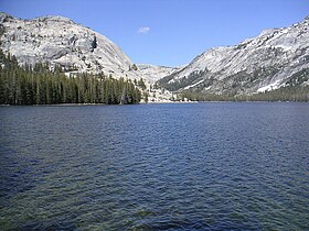
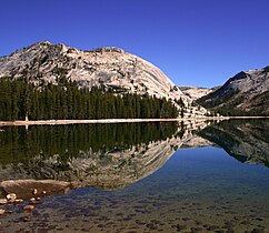
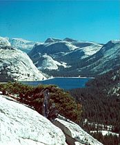
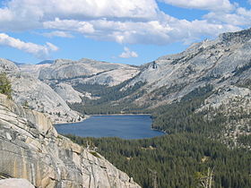
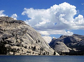
Tenaya Lake
-
Panorama
-
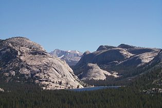
Vicinity of Tenaya Lake
-
Vicinity of Tenaya Lake
-
Vicinity of Tenaya Lake
-
Frozen
Other
[edit]-
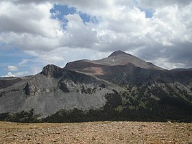
Mount Dana
-
Campfire scar
-
Mount Hoffmann
-
May Lake, near Mount Hoffmann
-
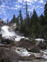
Chilnualna Falls
-
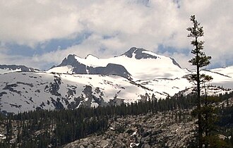
Mount Lyell
-
Gaylor Lake
-
Cathedral Peak over Lower Cathedral Lake
-
Little Yosemite Valley
-
Tuolumne River above Glen Aulin
-
Snowy day along the Dana Fork of the Tuolumne River
-
Waterwheel Falls
-
Wawona Tree, 1918
-
Meadow near Crane Flat
-
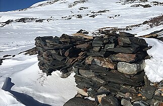
Remains of the Great Sierra Mine
-
Hetch Hetchy panorama
Maps and aerial views
[edit]-
Location of Yosemite (red) in the United States
-
Map of the park
-
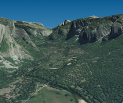
Aerial view, 3D computer-generated image.
-
computer rendering
-
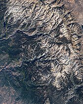
Yosemite as seen from outer space
Animals & Plants
[edit]-
Golden-mantled Ground Squirrel (Callospermophilus lateralis)
-
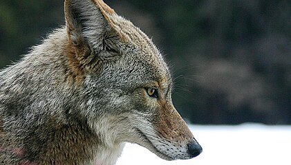
Coyote (Canis latrans)
-
Coyote
-
Common raven (Corvus corax)
-
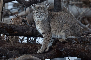
Bobcat (Lynx rufus)
-
Marmot on top of Mount Dana (Marmota flaviventris)
-
Grizzy Giant, a giant sequoia
People
[edit]-
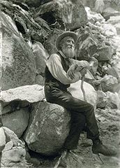
Theodore Roosevelt and John Muir
national park in California, United States | |||||
| Upload media | |||||
| Instance of | |||||
|---|---|---|---|---|---|
| Location |
| ||||
| Visitor center |
| ||||
| Operator | |||||
| Has part(s) |
| ||||
| Heritage designation |
| ||||
| IUCN protected areas category | |||||
| Inception |
| ||||
| Mountain range | |||||
| Highest point | |||||
| Area |
| ||||
| Visitors per year |
| ||||
| official website | |||||
 | |||||



_02.jpg/288px-Half_Dome_(juniorvelo)_02.jpg)




.jpg/264px-El_Capitan_(5085156271).jpg)




.jpg/228px-Little_Yosemite_Fall_(8199414975).jpg)












.jpg/247px-Nevada_Falls_-_Yosemite_National_Park_(August_5%2C_2012).jpg)









.jpg/325px-Happy_Isles_Bridge_-_Yosemite_National_Park%2C_California%2C_USA_(27698604901).jpg)







.jpg/140px-Frozen_Tenaya_Lake_I_(6618566719).jpg)






.jpg/280px-Clearing_near_Crane_Flat_(91176992).jpg)


.jpg/240px-Hey%2C_camera_is_not_food%21_(3167663318).jpg)

%2C_Yosemite_NP%2C_CA%2C_US_-_Diliff.jpg/339px-Corvus_corax_(Common_Raven)%2C_Yosemite_NP%2C_CA%2C_US_-_Diliff.jpg)


_(7437712788).jpg/305px-Erynnis_propertius_(Propertius_Duskywing)_(7437712788).jpg)



.jpg/230px-Half_Dome_with_Eastern_Yosemite_Valley_(50MP).jpg)